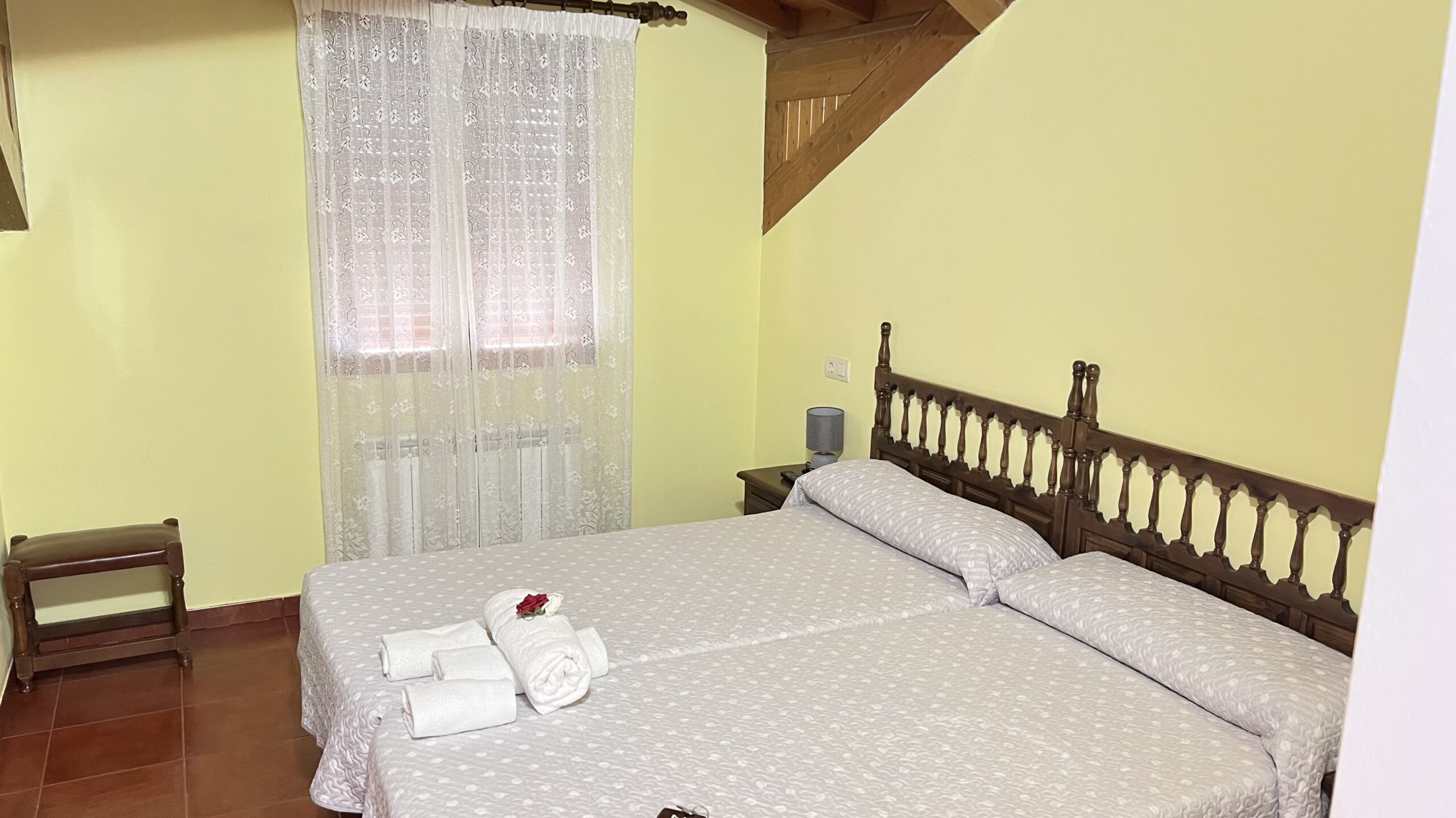
We stayed in the Hosteria el Refugio, a 1-star situated at the top of the town and on the main path. The restaurant had a bar but when we asked for a beer we were told “this is not a bar – restaurant only”.


My room had 2 windows – a tiny one with a view over the laundry courtyard and a velux in the roof. This was operated by electric motors and decided to close itself during the night. Anyway, by opening it fully and standing on the bed I was able to get a nice shot of this morning’s sunrise. The room was small and spartan but the bed was comfortable.


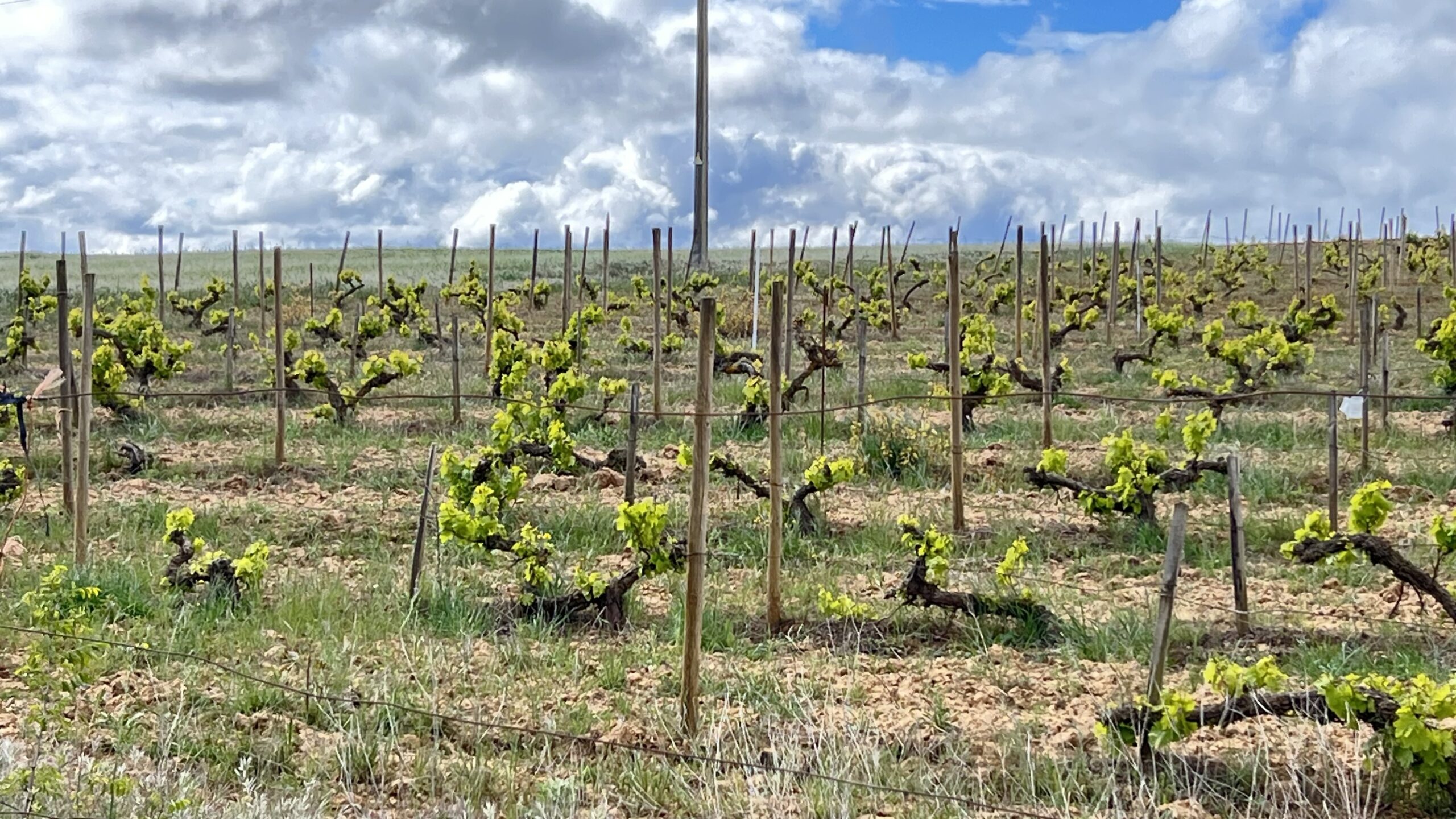
We had quite a fresh breeze blowing as we set off, and this felt like it dropped the temperature a few degrees. It was going to be another hot day, so because there was a lot of ascent and descent, we set off earlier than usual. The first part of today was on open paths with greats views to look at.


After a while the path became more of a woodland path and, as we ascended became more like a mountain path. As we climbed we passed a disused watering trough. The path itself was bordered by a riot of colour – yellow Crocanthemum (aka frostweed), white mouse-ear chickweed, purple milkwort, white Spanish broom, white Erica (heather) and the ubiquitous lavender coloured heather. Then we walked by a small pond where the noise was unbelievable – sounded like hundreds of frogs croaking all at once.


A bit more climbing and we reached the Cruz de Ferro (c1500m), the highest point of the whole Camino. Pilgrims often carry a stone from their home or the beginning of their journey to leave at the Cruz de Ferro. This act is meant to symbolise the shedding of emotional or spiritual weight. After a brief photo stop we then prepared for the long descent.


We started the descent by taking the (flat surface) road as it ran next to the (rough stoney surface) path. A herd of cows were wandering through the woods and (hopefully) enjoying all the pilgrims waving to them and taking photos. The views at this stage were truly wonderful.


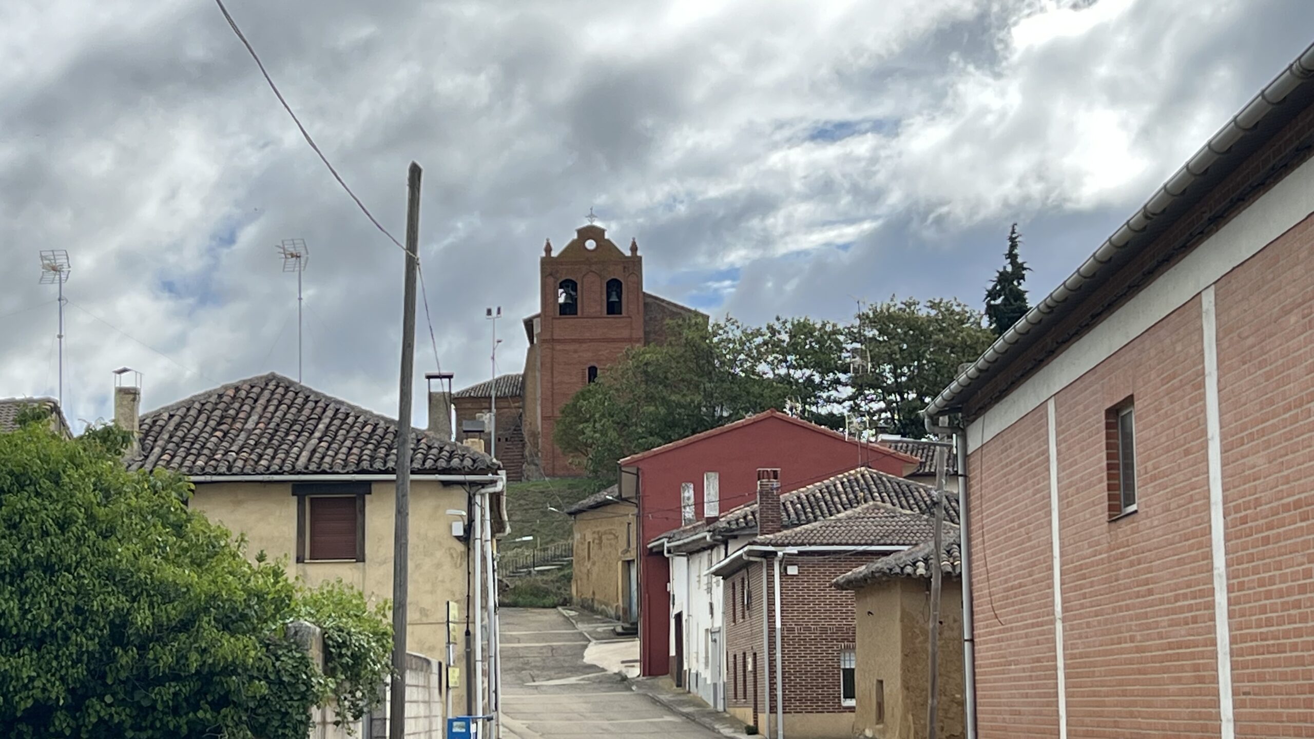
Now we had to move back on to the path which was very uneven and required quite a bit of care. It’s very hard to focus on the views when watching your feet but we did see a small village nestled into the mountain – looked like it would be an access nightmare in the winter.


We stopped in the small village of Acebo for a cold drink and a slice on Lemon cake – very refreshing, before setting off downhill again. We managed a short spell on the road before rejoining the path. This was very steep and uncomfortable to walk on for large sections.


We could see Ponferrada (on tomorrow’s route) in the distance as we stumbled downhill. Finally we made it to Molinaseca and headed straight to a riverside cafe for a beer and a sandwich. Today was tough on feet, ankles and knees – thankfully tomorrow, although longer, is a bit easier.