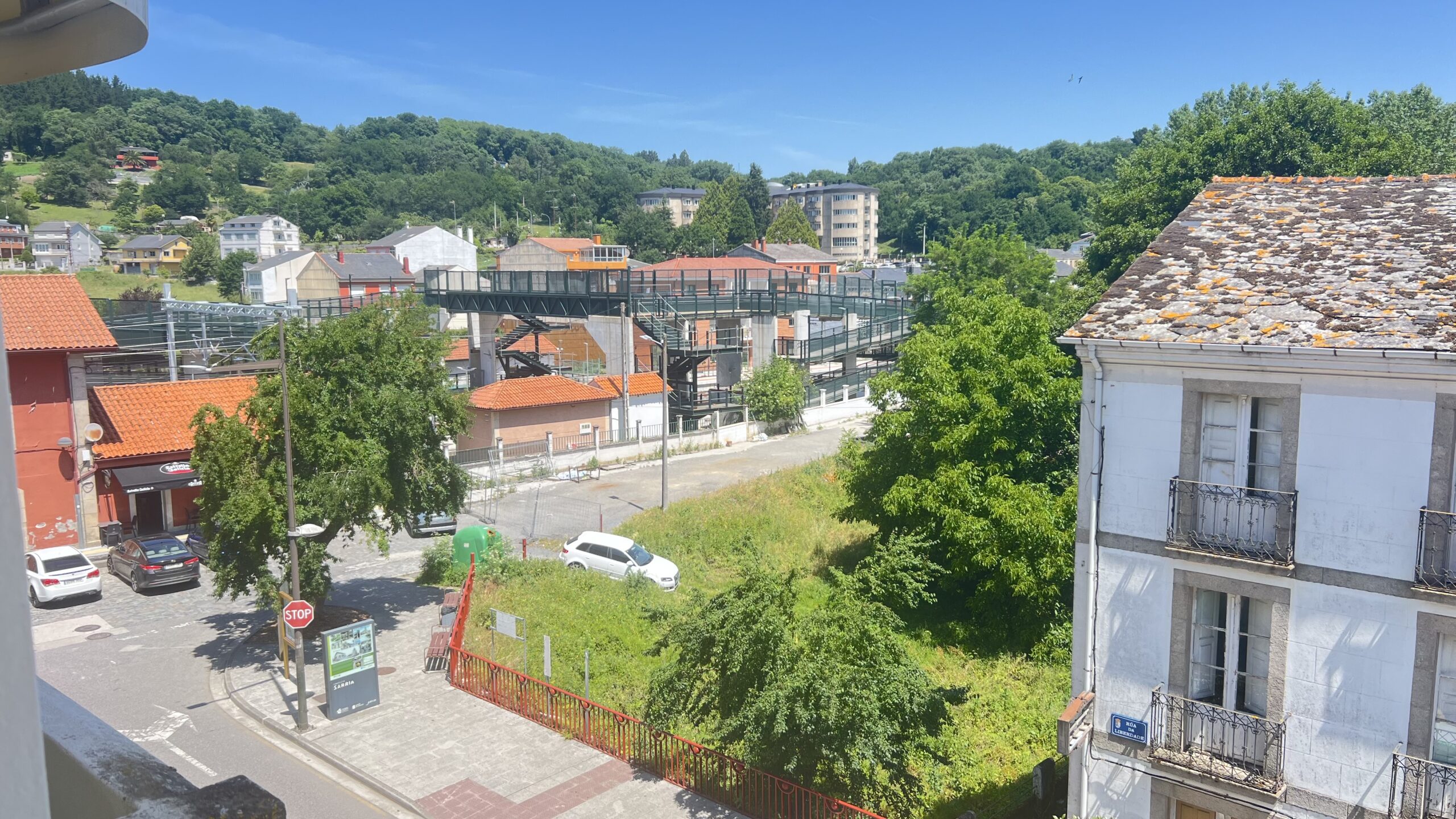
We stayed at the Pension Mirabel, a 2-star small hotel not far from the main road through O Pedrouzo. We arrived way to early to access reception (door locked) let alone checkin, so Helena headed off to check in to her hotel and we met in the town for some lunch.


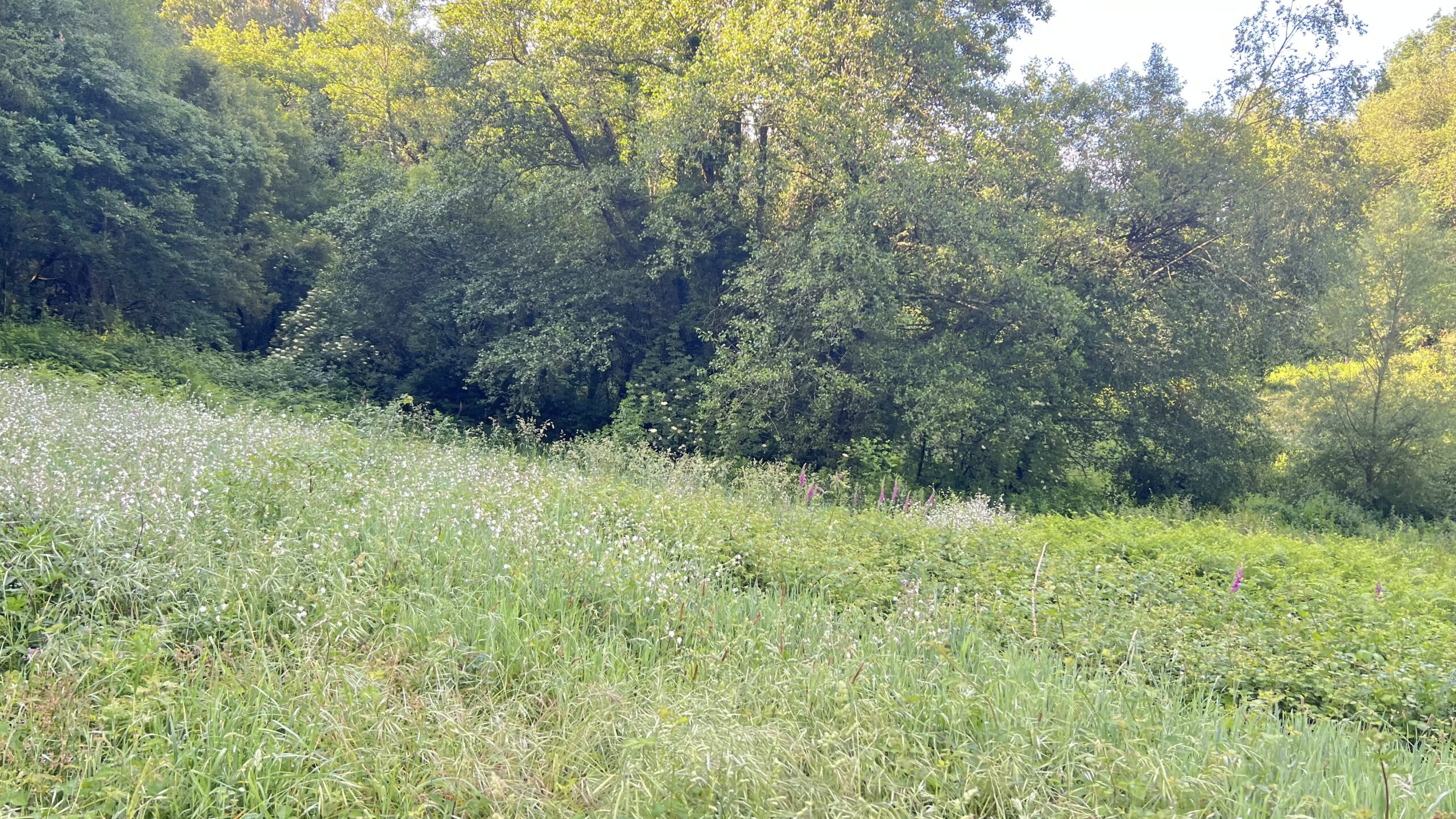
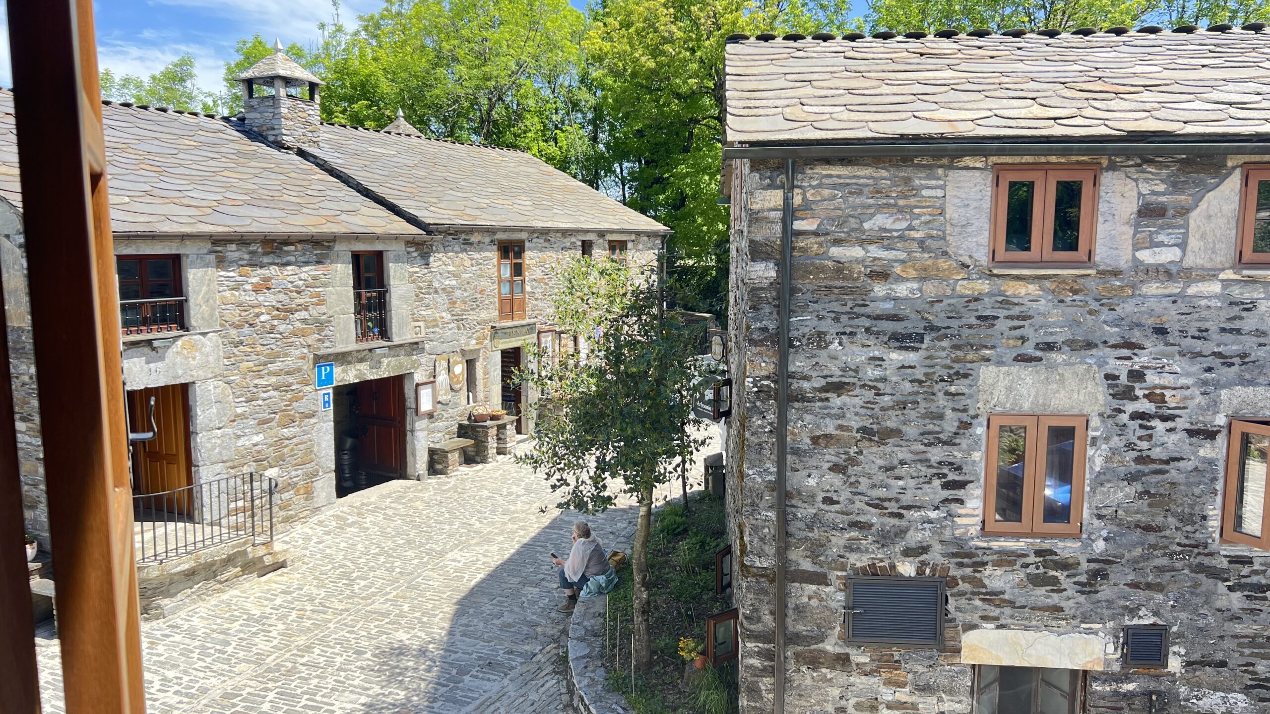
The view from my room was over the back gardens and the room was basic but comfortable – no air conditioning but, with not being overlooked, having the window open overnight compensated for this. The hotel was so small there was no eating area, so breakfast was a nearby cafe on the route back to the trail. As we started out, on our last day of walking, it was nice and cool, even if the sky was overcast and looked like rain. The first while was spent walking through the woods and it was a long while before we met any other pilgrims. Obviously the excitement of the final sector had made everyone get up, and leave, super early.


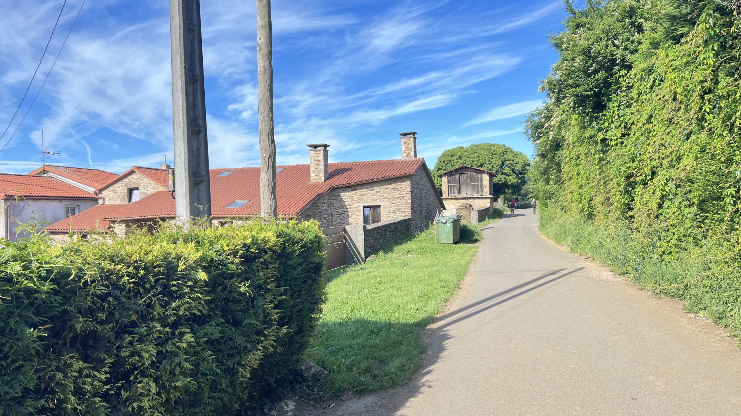
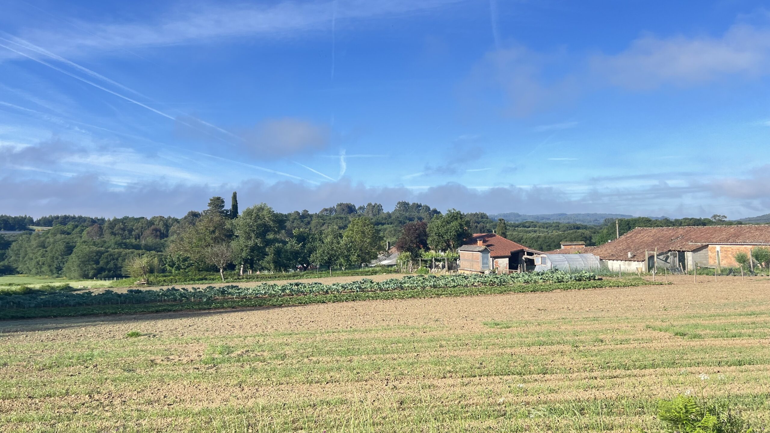
A bit of a climb (nothing too strenuous for the whole day) and we came out of the woods into more farmland, spotted a rainbow (just visible in the third photo) ahead and then back onto the wooded track. It was spitting rain at this stage and, being optimistic, we left our coats in our backpacks and carried on. It also felt too warm to be wearing raincoats unnecessarily.


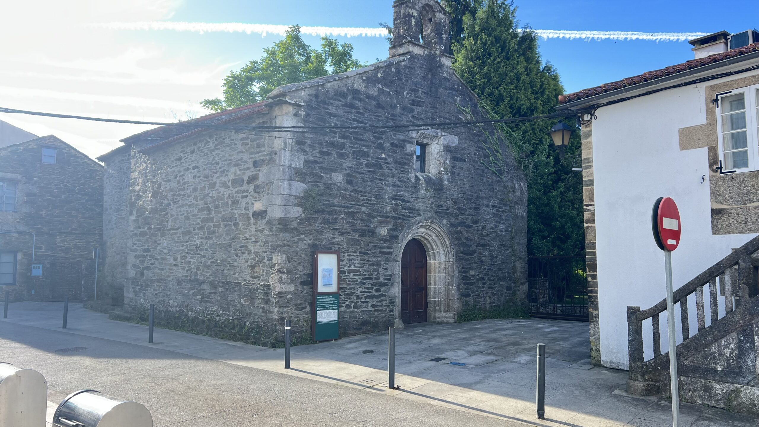
The heavens did open, shortly after, but not for too long as we walked around the northern end of Santiago airport. We passed by the church of San Paio de Sabugueira in A Esquipa, with the inevitable crowd of pilgrims milling round, before heading back into the open countryside. We stopped for a drink and a piece of Tarte de Santiago, about an hour out from the finish, and Mike took the opportunity to bin his stinky backpack and tattered cap.


The rest of the walk was then mainly through the outer suburbs of Santiago – we did get one early view of the city and its cathedral from the top of a hill in San Marcos. Finally we reached the edge of the Old Town and could see the finish point poking out over the houses. At the top of the street leading down to the cathedral square, it was ice cream time and then a final stroll, past the obligatory bagpipe player, into the cathedral square where Mike & Paul’s wives were waiting for us. A quick trip to the Pilgrims Office and we received our Compostela and distance certificates and then back to the square for the team photo.

Then it was time to check in, freshen up and (for Paul and me – Mike & Helena declined) head out for end of Camino tattoos.


We attended the pilgrim mass at 7:30 and were treated to the Botafumerio display. This only happens on “solemn dates” or when someone pays about €500. After dinner we walked up to the big ferris wheel and got the last ride of the day – which gave some great views of the sunset, the cathedral and the city. A fitting end to a memorable trip.
Next year’s adventure is already being planned!